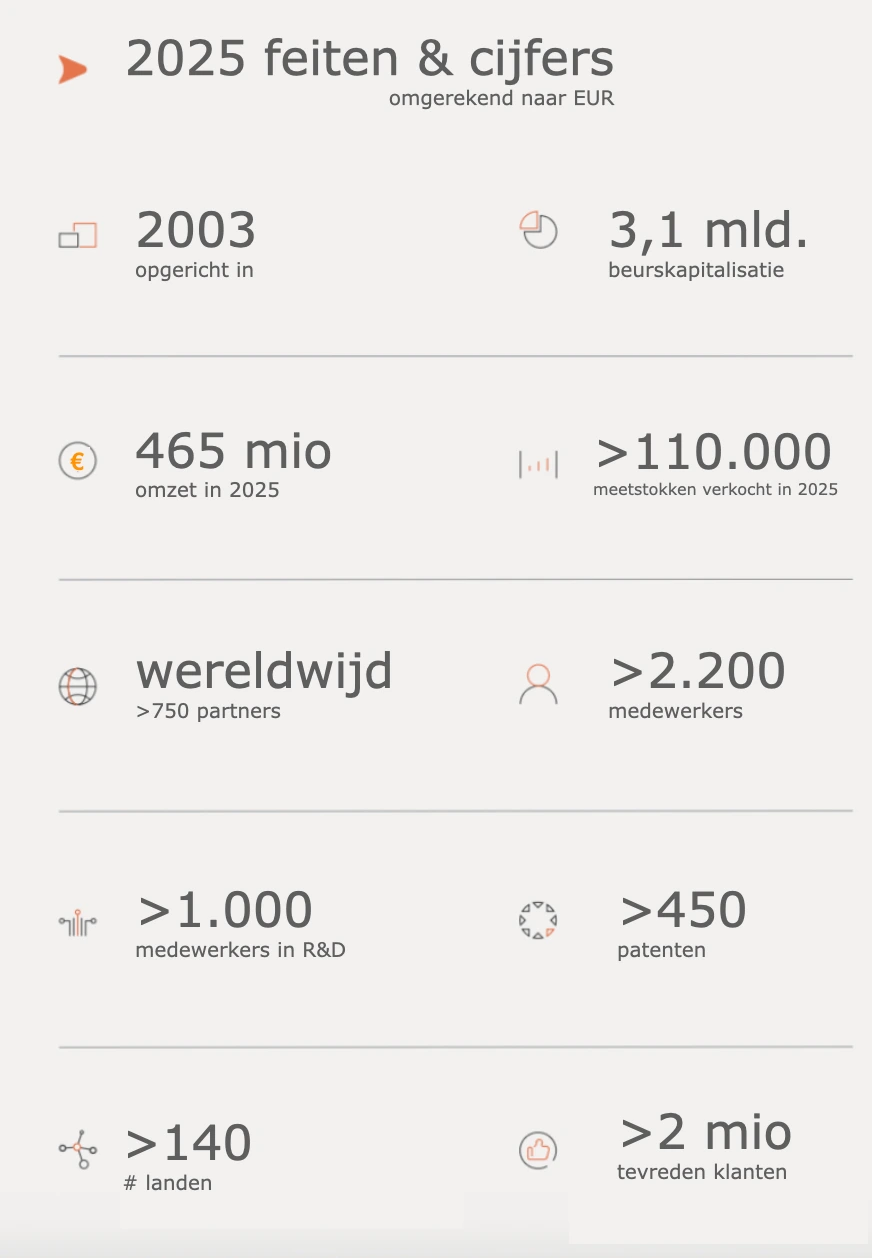
Skip to Content

CHC Navigation (CHCNAV) is an international technology producer specialising in positioning, navigation and mapping.


History


  • Founded in 2003 in Shanghai
     
  • Started with the development of affordable, high-precision GNSS equipment for infrastructure and land surveying. 
     
  • Grew rapidly through international expansion from 2007 and strong investments in R&D. 
     
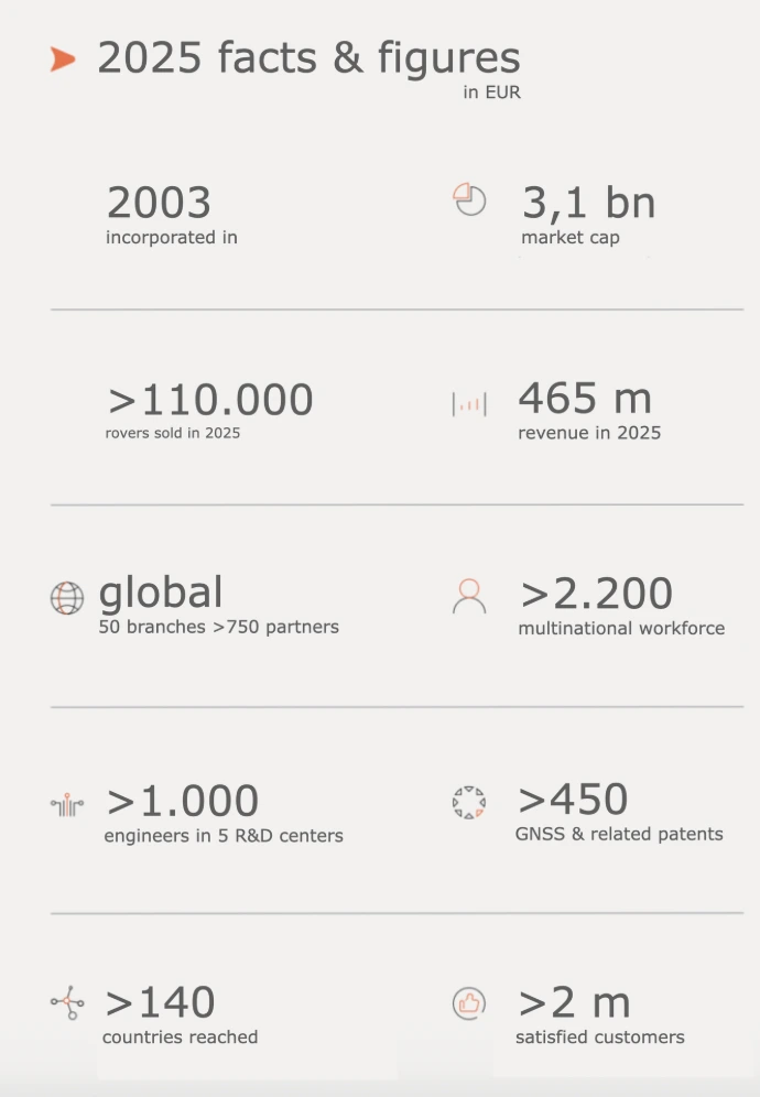
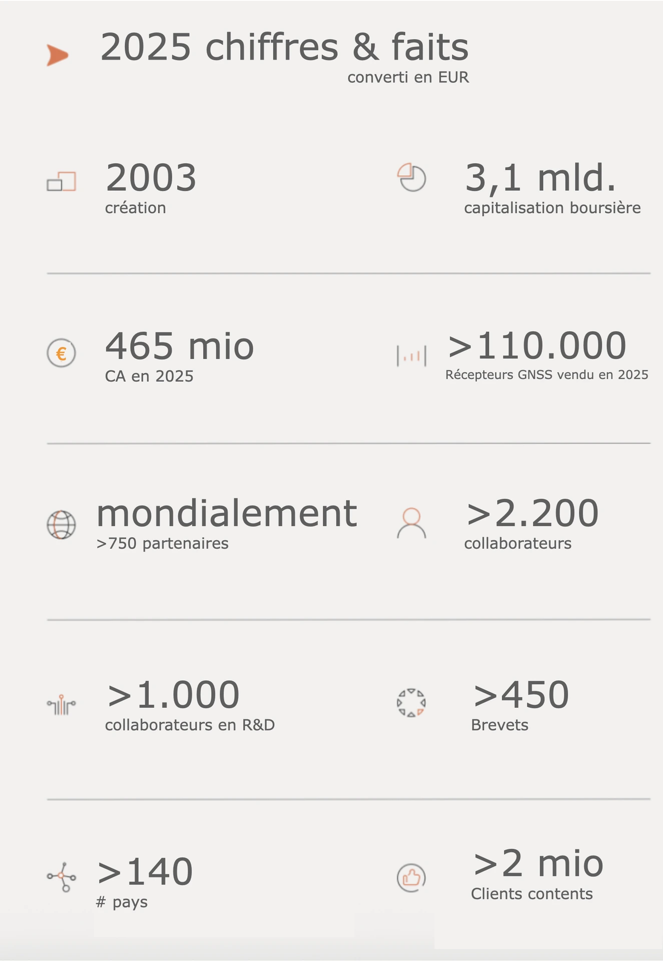
  • Today a global player (130–140+ countries, >2000 employees) and an established name in the geospatial sector. 


Products and solutions


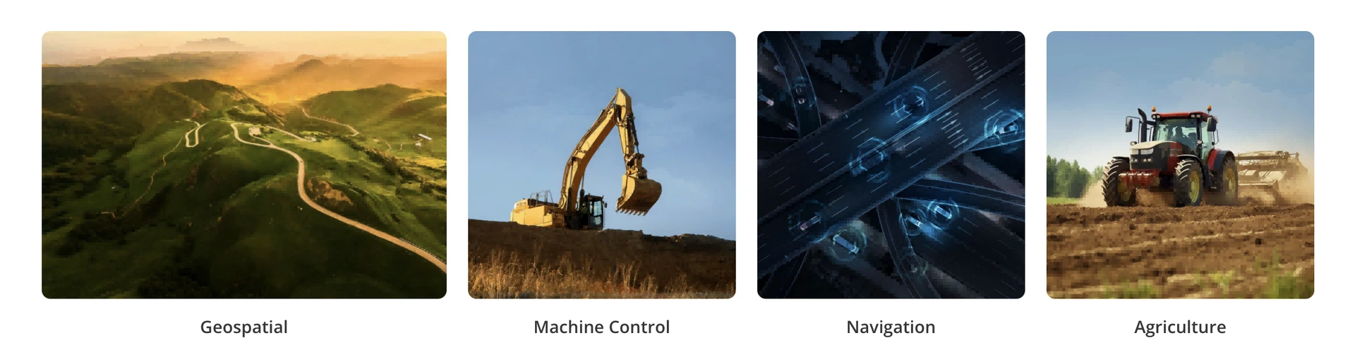
CHCNAV provides integrated technologies around positioning and data acquisition, particularly in four domains:

  • Geospatial / land surveying
    GNSS receivers, 3D LiDAR scanners, UAV and mapping systems. 
     
  • Construction & machine control
    GPS/GNSS systems for excavators, bulldozers, graders and other machines (3D machine control). 
     
  • Agriculture (precision farming)
    Tractor guidance, auto-steering and agricultural software to increase yield and efficiency. 
     
  • Navigation & OEM
    GNSS+INS modules and sensors for vehicles, drones, robotics and autonomous systems. 

Additionally, the company combines hardware (GNSS, LiDAR, sensors) with software and cloud platforms for real-time data and workflows. 

In summary: CHCNAV evolved from a Chinese GNSS startup to a global supplier of integrated positioning and mapping technology for, among others, construction, agriculture, and autonomous systems.

more info at www.chcnav.com


Ultimated has been the master dealer for machine control and geo-solutions in Belgium, the Grand Duchy of Luxembourg, and the four southernmost provinces of the Netherlands since early January 2026.

an overview of sub-dealers can be found here


CHC NAV

CHC Navigation (CHCNAV) is an international manufacturer of technologies specialising in positioning, navigation, and mapping.


History


  • Founded in 2003 in Shanghai
     
  • The company started by developing affordable, high-precision GNSS equipment for infrastructure and surveying.
     
  • From 2007 onwards, it experienced rapid growth due to its international expansion and significant investments in R&D.
     
  • Today, CHCNAV is a global player (present in over 130–140 countries, with more than 2,000 employees) and a recognised reference in the geospatial sector.


Products and solutions


CHCNAV provides integrated positioning and data acquisition technologies, primarily in four areas:

  • Geospatial / Surveying
    GNSS receivers, 3D LiDAR scanners, drones, and mapping systems..

     
  • Construction & guidance systems
    GPS/GNSS systems for excavators, bulldozers, graders, and other machinery (3D machine control).
     
  • Precision agriculture
    Guidance of tractors, auto-steering and agricultural software aimed at improving yield and efficiency 
     
  • Navigation & OEM
    GNSS+INS modules and sensors for vehicles, drones, robotics and autonomous systems. 

Furthermore, the company combines hardware (GNSS, LiDAR, sensors) with software and cloud platforms to provide real-time data and workflows. 

In summary: CHCNAV has evolved from a Chinese startup specialising in GNSS to a global provider of integrated positioning and mapping technologies for, among others, construction, agriculture and autonomous systems.


Ultimated has been the master dealer for guidance systems and geospatial solutions in Belgium, the Grand Duchy of Luxembourg and the four southernmost provinces of the Netherlands since early January 2026.